Lower Danube Catchment area (Romania/ Bulgaria/ Serbia)

Lower Danube

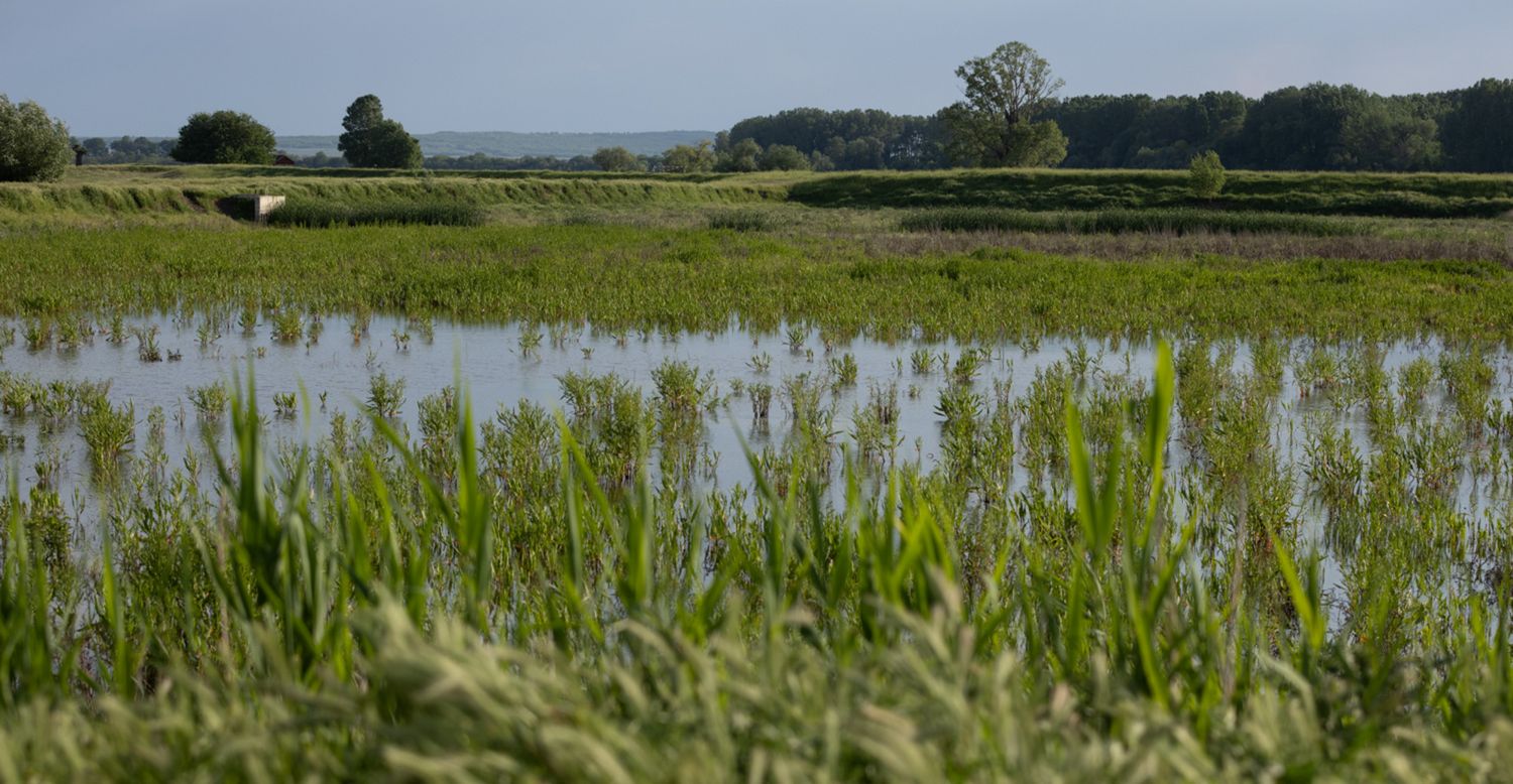
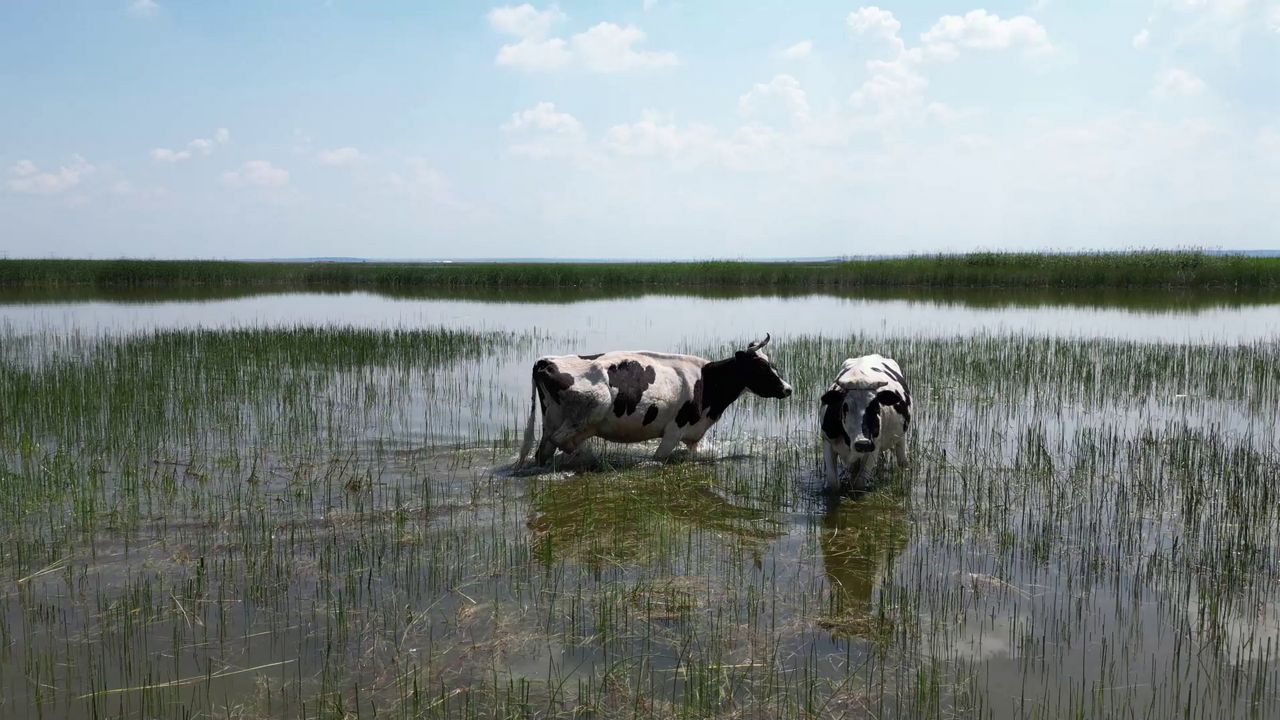
The Lower Danube region, straddling Bulgaria, Romania and Serbia, faces significant challenges stemming from the continued exploitation of the Danube River resources, especially for navigation, hydropower production, and agricultural irrigation, especially during periods of drought. As a result, the water level may drop below the safety margin, forcing local communities to rely on groundwater resources, which are also limited, for drinking water supply.

  • The Danube River is the second-longest river in Europe, running through 10 countries, flowing for 2850 Km, until it reaches the Black Sea.
  • Romania represents 29% of the surface area of the whole Danube Basin, with a length of 38% of the Danube River flowing through its territory.
  • Located on the border between Romania-Serbia and Romania-Bulgaria, characterized by a complex morphology with different types of banks.
  • Population density is moderate.
  • The Lower Danube basin supports various activities, including transport, industry, energy, agriculture, and tourism, vital for the local, national, and European economy.
  • Construction of the large hydropower plants Iron Gates I and Iron Gates II and alterations through embankment, have generated high bank erosion processes, with a negative impact on navigation.
  • Intense flood risk: since the development of grey infrastructure along the riverbanks, flash floods travel at an increased speed along the Danube; most of the old floodplains, which now are used for agriculture, are flooded on a regular basis.
  • Urban areas developed on the Danube riverbank are very susceptible to floods and riverbank collapse.
  • Most of the land along the riverbank is now under the administration of private owners, reducing incentives for local authorities to oversee the maintenance and development of the areas.
  • Agricultural associations are requesting larger quotas of water needed for irrigation, while affecting the hydropower energy production, navigation and sediment transport especially during drought periods when the water level is low. This is also affecting a large area of the Danube riverbank, since at low water level the main impact on the natural environment can be seen in the large number of erosion points.
  • Ministry of Transport, Ministry of Regional Development and Tourism, Ministry of Agriculture.
  • Lower Danube River Administration
  • Romanian Waters National Administration
  • Environmental Guard
  • National Agency for Environmental Protection
  • Local Administration
  • County council
  • Associations for Fishing and Hunting
  • Energy authority
  • SMEs
  • NGO’s & Citizens
  • Farmers
  • Insurance companies
  • Analyse and explain the Nexus interactions between Water, Energy, Food and Climate.
  • Apply and adapt existing tools in order to improve the national and local natural resources management strategies, through participatory processes.
  • Develop business models/ scenarios to support decision and policy makers.
  • Managing a balance between the drive towards continuous exploitation of the Danube River resources to the maximum and the sustainable exploitation with the advantage of a smaller impact on the natural environment, but that provides a lower degree of financial benefits.

Lower Danube Catchment pilot News

Skip to content